Remote sensing
Remote sensing deals with the evaluation of data obtained from a distance. The focus here is on the observation of our planet Earth with its entire ecosystem and the infrastructure created and used by humans. In recent years, the amount of remote sensing data has increased enormously, so that manual evaluation is not possible at all. Therefore, modern remote sensing deals with extensive automation of data analysis and handling of enormous amounts of constantly flowing heterogeneous data. Machine learning methods are widely used and further developed.
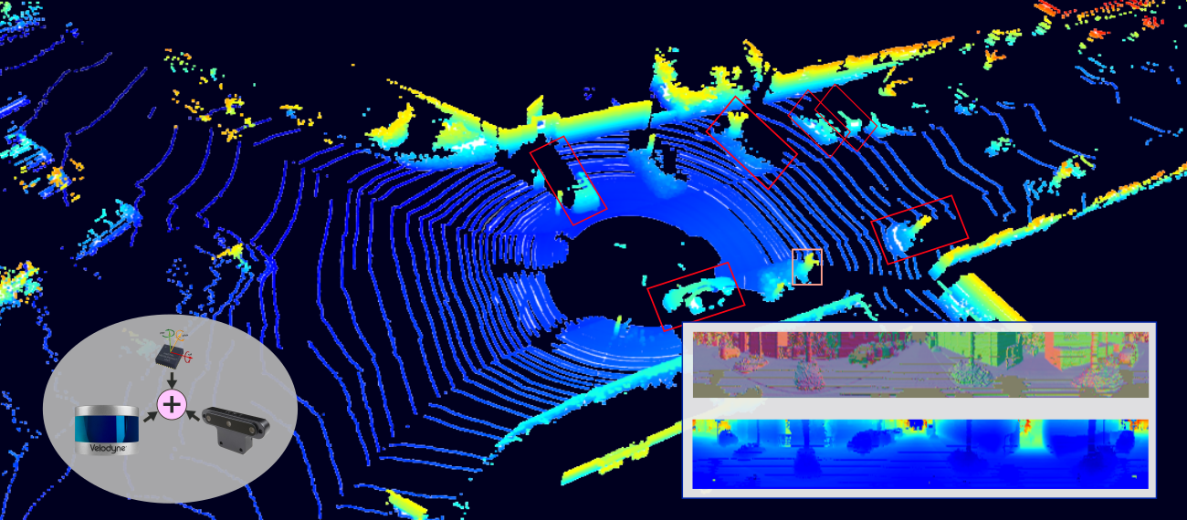
Our research topics belongs to:
- multi-sensor fusion
- thermography
- Lidar – Coregistration of point clouds, object detection
- and analysis of time series
Image analysis
In the field of image analysis we deal with
- semantic segmentation
- deep learning
- image sequences
Photogrammetry
Photogrammetry is also represented at our group. In particular through the topics:
- Matching
- 3D reconstruction
- mobile mapping systems
- SLAM