GeoAI: Artificial Intelligence in Remote Sensing and Geospatial Science
New elective module in our teaching portfolio
2025/03/27
We are offering a new compulsory elective module: “GeoAI: Artificial Intelligence in Remote Sensing and Geospatial Science”. Learn to use artificial intelligence to analyze geospatial data from satellites, drones and more.
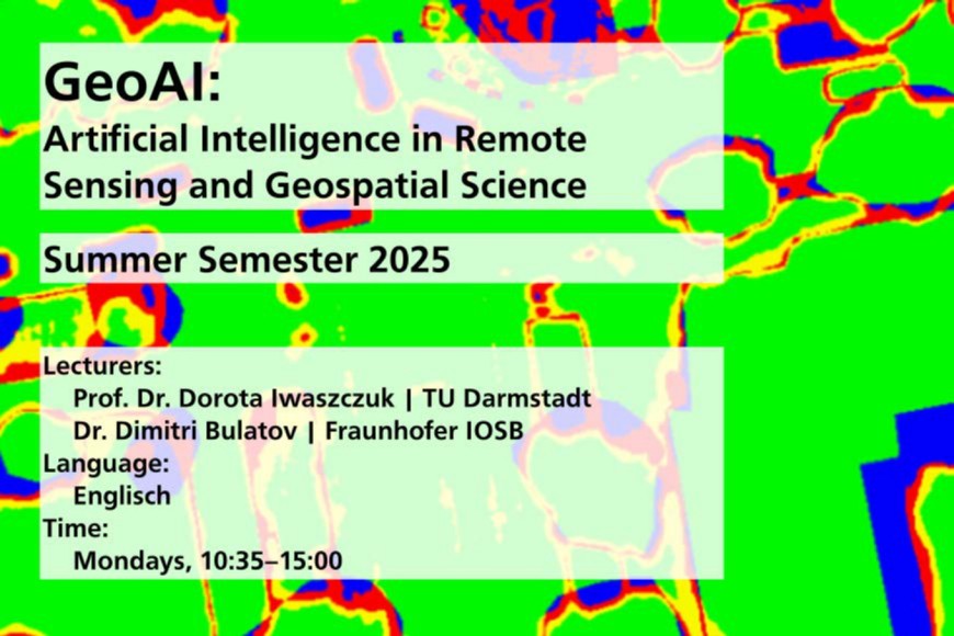
This course is designed to provide an in-depth exploration of AI applications in geospatial studies, with a particular focus on remote sensing. You will learn to efficiently analyze high-dimensional geospatial data from satellites, airborne images, drones, terrestrial systems and other geodata – using classification methods such as Random Forest or Deep Neural Networks.
In addition, the course also covers advanced topics like generative methods, transfer learning, and eXplainability of AI models.
By the end, you will have in-depth knowledge and scalable AI tools to effectively analyze and interpret geospatial data.
All you need to bring is refreshed math skoöös frp, high school and the first semester and come fully motivated to our meetings!