From the treetop to the undergrowth: Presentation by Prof Iwaszczuk at the Geodetic Colloquium in Hamburg
2024/07/09
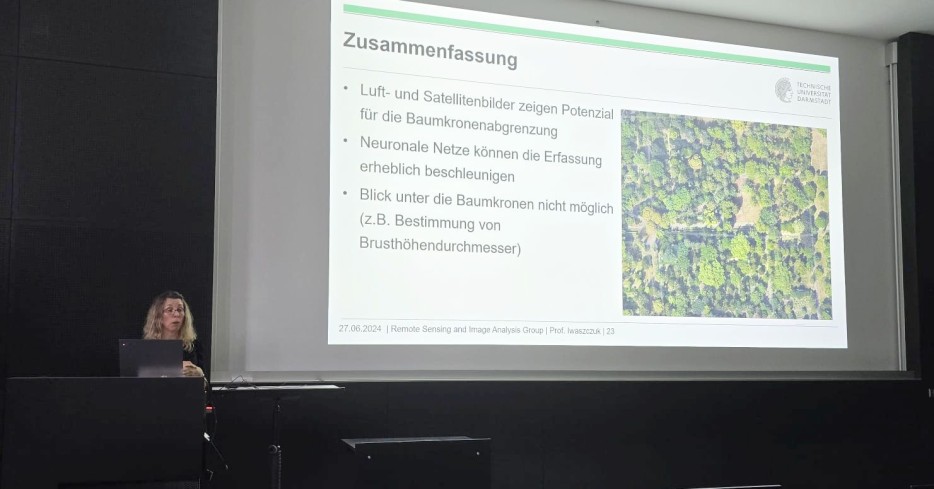
Prof. Dorota Iwaszczuk presents results on forest mapping at the Hamburg Geodetic Colloquium on 27 June 2024.
-
![]()
Colloquium presentation -
![]()
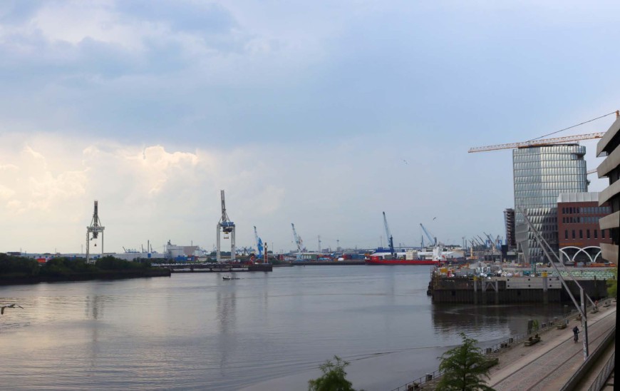
View of the harbour from the venue
- Go to picture 1
- Go to picture 2
This year's Hamburg Geodetic Colloquium at the HCU offered exciting presentations by renowned experts. The event offered insights into the use of explainable artificial intelligence, point cloud-based monitoring, remote sensing methods for modeling forest layers and the exploration of China.
Prof. Dr.-Ing. Ribana Roscher (Forschungszentrum Jülich/University of Bonn) spoke about the use of explainable artificial intelligence for agricultural and environmental sciences. Prof. Dr.-Ing. Corinna Harmening (KIT – Karlsruhe Institute of Technology) presented a monitoring of natural and artificial objects based on point clouds. Prof. Dr. em. Lutz Plümer (University of Bonn) shared his experiences of researching China as Dean at Southwest Jiaotong University in Chengdu.
Prof. Dr.-Ing. Dorota Iwaszczuk (TU Darmstadt) was also invited to speak at this lecture series. Her talk delved into modern remote sensing methods used to model different layers of forests. Specifically, she focused on very high-resolution satellite imagery for tree crown delineation and on airborne and mobile laser scanning to model undergrowth.
The Geodetic Colloquium is a regular event of the HCU Hamburg for the further education of the professional groups of geodesy and geoinformatics in Northern Germany. The event is supported ideally and financially by the Gesellschaft für Geodäsie, Geoinformation & Landmanagement (DVW-Bezirksgruppe Hamburg), the Verband Deutscher Vermessungsingenieure (Landesverband Hamburg / Schleswig-Holstein), the Deutsche Gesellschaft für Kartographie (DGfK) – Sektion HH/SH, the Deutsche Hydrographische Gesellschaft, the Nico Rüpke-Stiftung Hamburg and the Verein zur Förderung der Geodäsie und Geoinformatik an der HCU Hamburg.
Further information can be found here.