Physical and Satellite Geodesy (PSGD)
Welcome on the web pages of work group Physical and Satellite Geodesy (PSGD) under the chair of Geodätische Messsysteme und Sensorik within the Institute of Geodesy of the Technical University Darmstadt.

PSGD is active in research and teaching of the diverse topics of global geodesy. Among these for example determination of global geodetic coordinate reference systems, globally consistent position determination, research on environmental change with respect to geometry, gravity field, and mass transport in system Earth.
Focal points of our activities are all aspects of Global Navigation Satellite Systems (GNSS), applications of Satellite Geodesy, multi-sensor systems with inclusion of microwave interferometry with application in civil and environmental engineering, precise navigation based on GNSS/INS systems, e.g. for automotive application, and development of tailored estimation and filtering methods.
In teaching we give lectures in study courses B.Sc. Civil Engineering and Geodesy as well as M.Sc. Geodesy and Geoinformation. Course subjects are global Geodesy, Satellite Navigation (GNSS), Positioning and Navigation, Physical Geodesy, Geodetic Reference Systems, Satellite Geodesy, Integrated Navigation. Beside we are responsible for lectures in Parameter Estimation, where estimation and signal processing methods are teached with applications in Geodesy and other engineering fields. A lot of our courses are well suited to be chosen as elective subjects in other study courses as well.
Overview on our research fields (for further information see research):
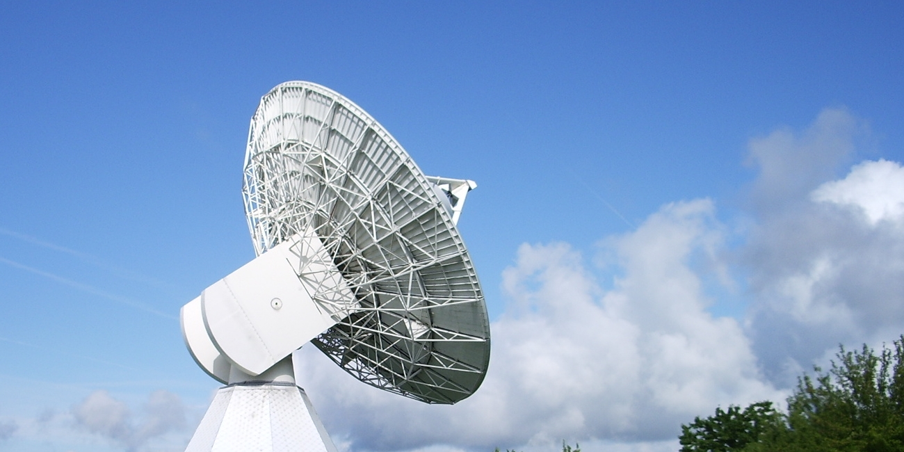
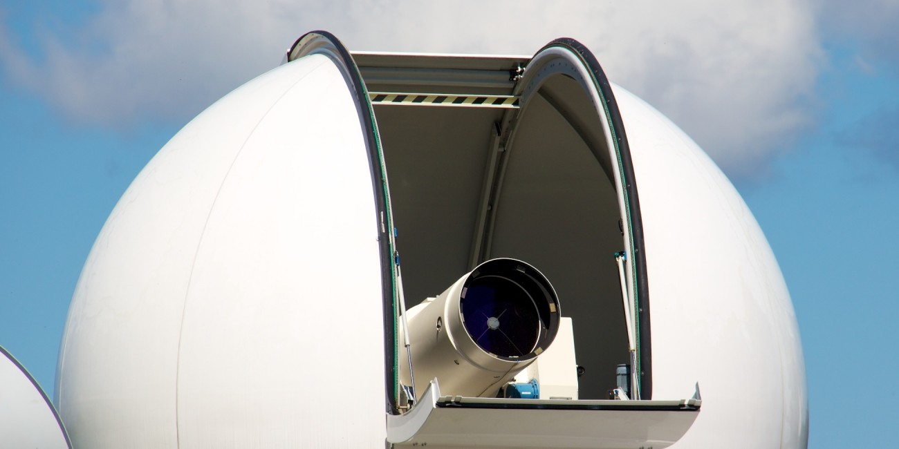
- Satellite Geodesy
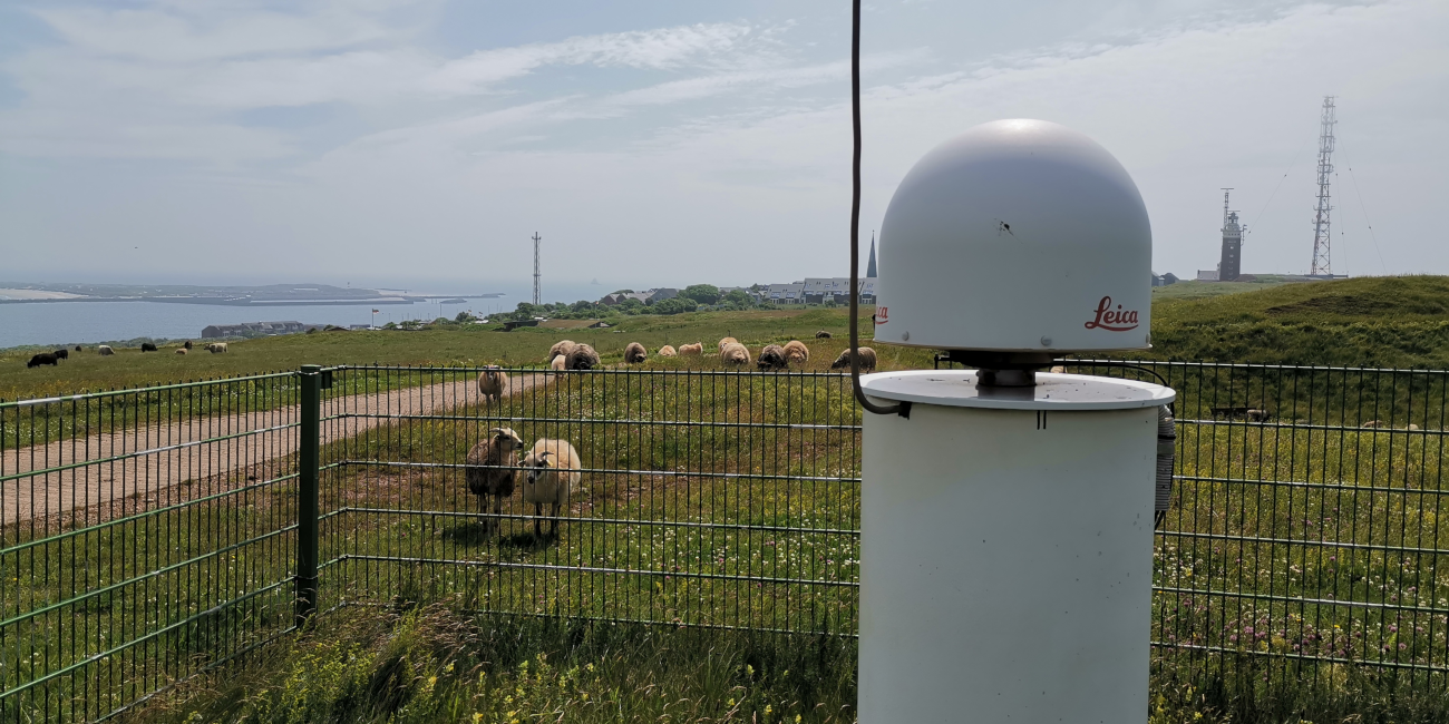
- Global Navigation Satellite Systems (GNSS)
- Geodetic coordinate reference systems and Geokinematics
- Satellite based monitoring of Earth surface by use of GNSS, Radar, InSAR in civil and environmental engineering
- Satellite altimetry
- Inertial Geodesy and Navigation
- Inertial measurement units and navigation systems (IMU/INS)
- Multi-sensor integration with focus on GNSS/IMU
- Integrity and safety in automotive application of navigation systems
- Physical Geodesy
- Gravimetry
- Geoid determination
- Mass transport in system Earth
- Microwave interferometry
- Structure monitoring and analysis
- Land slide monitoring