Institute for Geodesy


Institute of Geodesy
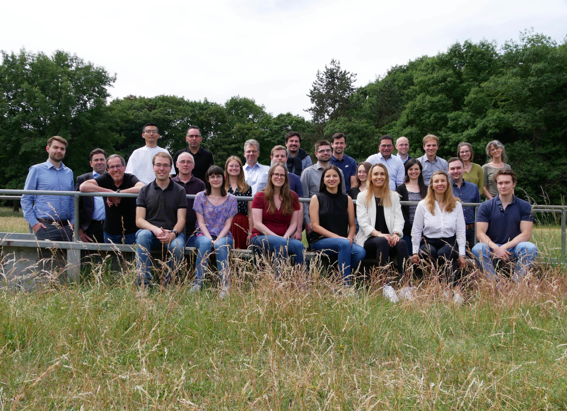
Welcome to the Institute of Geodesy at the Technischen Universität Darmstadt.
Geodesy - We are shaping our changing earth!
Geodetical Colloquium 2024/2025
Everyone is welcome to join the geodetic colloquium in winter term 2024/2025. A list of topics and presentations can be found down below. Note that the presentations are in German.
Please note the update 2025-02-03: Shift of one presentation to another date!
Geodätisches Kolloquium Wintersemester 2024/2025 (opens in new tab)
About the Institute
The Institute of Geodesy represents the teaching and research in the area of Geodesy and Geoinformation at the Technischen Universität Darmstadt.
The following four sections of the institute represent the vast area of research with their individual focuses:
- The remote sensing & image analysis group deals with remote sensing, photogrammetry and image analysis. In particular, methods such as data fusion, processing of point clouds and semantic segmentation are considered.
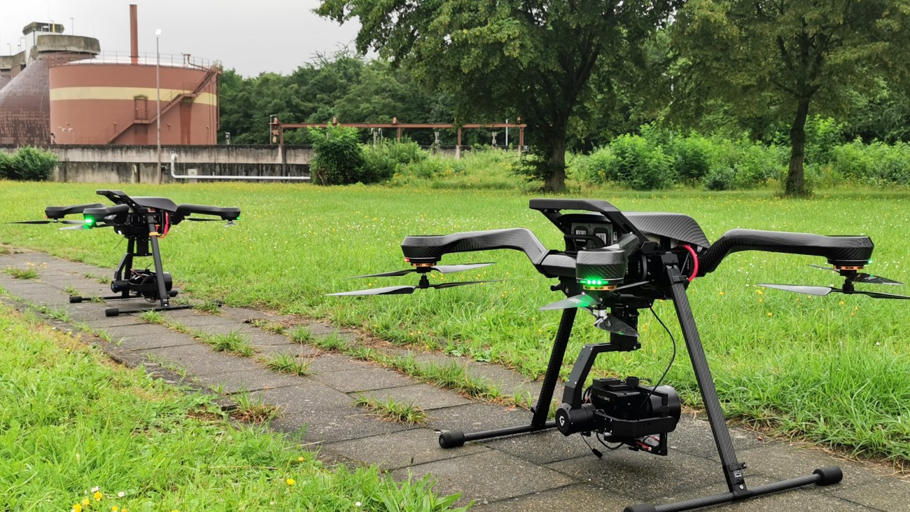
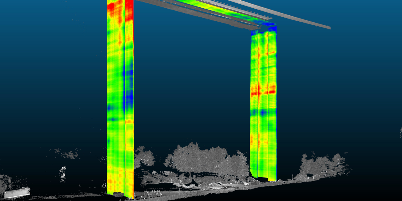
- The section Geodetic Measuring Systems and Sensor Technology is active in surveying engineering. The focuses are on structural health monitoring with 2D/3D laserscanning, terrestrial and aerial multi-sensor vehicles, geographic information systems and building information modelling.
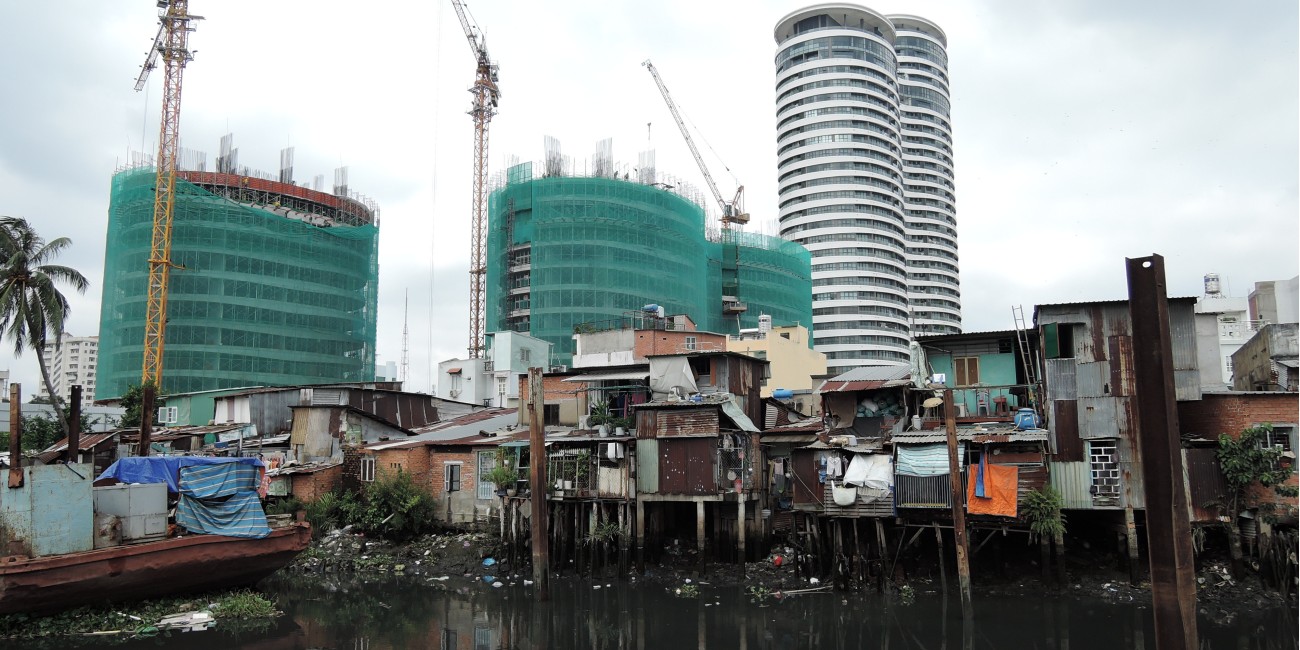
- The department of Land Management deals with the sustainable development of urban and rural areas, starting with the proof of ownership of land, through the monitoring of changes, to the planning and implementation of goal-oriented measures.
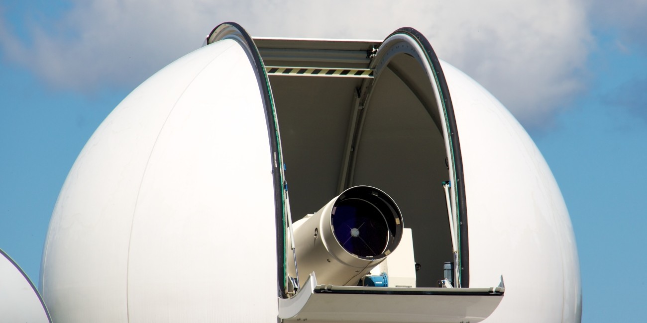
- The section Physical Geodesy and Satellite Geodesy focuses on the global aspects of geodesy and measurements of the earth: Geodetic Reference Systems, Physical Geodesy, Satellite Geodesy and Inertial Geodesy and Navigation.
Further information of the individual sections can be found on their respective websites you can access using the following boxes.