The Geodetic Space Techniques include
- Very Long Baseline Interferometry (VLBI)
- Satellite Laser Ranging (SLR) and Lunar Laser Ranging (LLR)
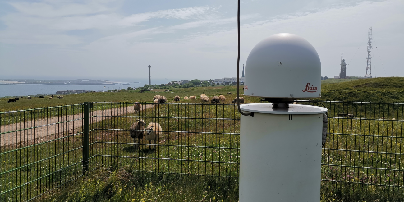
- Global Navigation Satellite Systems (GNSS), which are GPS, Glonass, Galileo, Beidou
- Satellite gravity missions
- Satellite altimetry
The main research activities at PSGD in the last years were focusing on research on GNSS: Optimized processing and software development, and application to various fields like specification of geodetic reference systems, monitoring of natural and man-made structures for deformations, use in navigation, and much more.