Compared to on-site surveys, modern satellite sensors offer key advantages in terms of large-scale, fast, cost-effective, and up-to-date land use coverage. The sensors measure the backscatter of electromagnetic waves from the earth's surface. Different spectral ranges (e.g. optical range or microwaves) are used, in which different features of the land cover can be measured. By using mathematical algorithms of pattern recognition (classifiers), the images can be used to quickly and effectively identify the underlying mapped land use.
The goal of the project is to classify agricultural land using state-of-the-art satellite imagery and to develop new classification methods. A graph-based statistical approach will be used. The special feature is that the temporal development of crops (phenology) is to be modeled. The project is funded by the BMWi within the framework of a program for the “Preparation of the scientific and commercial use of the Sentinel missions and national missions”.
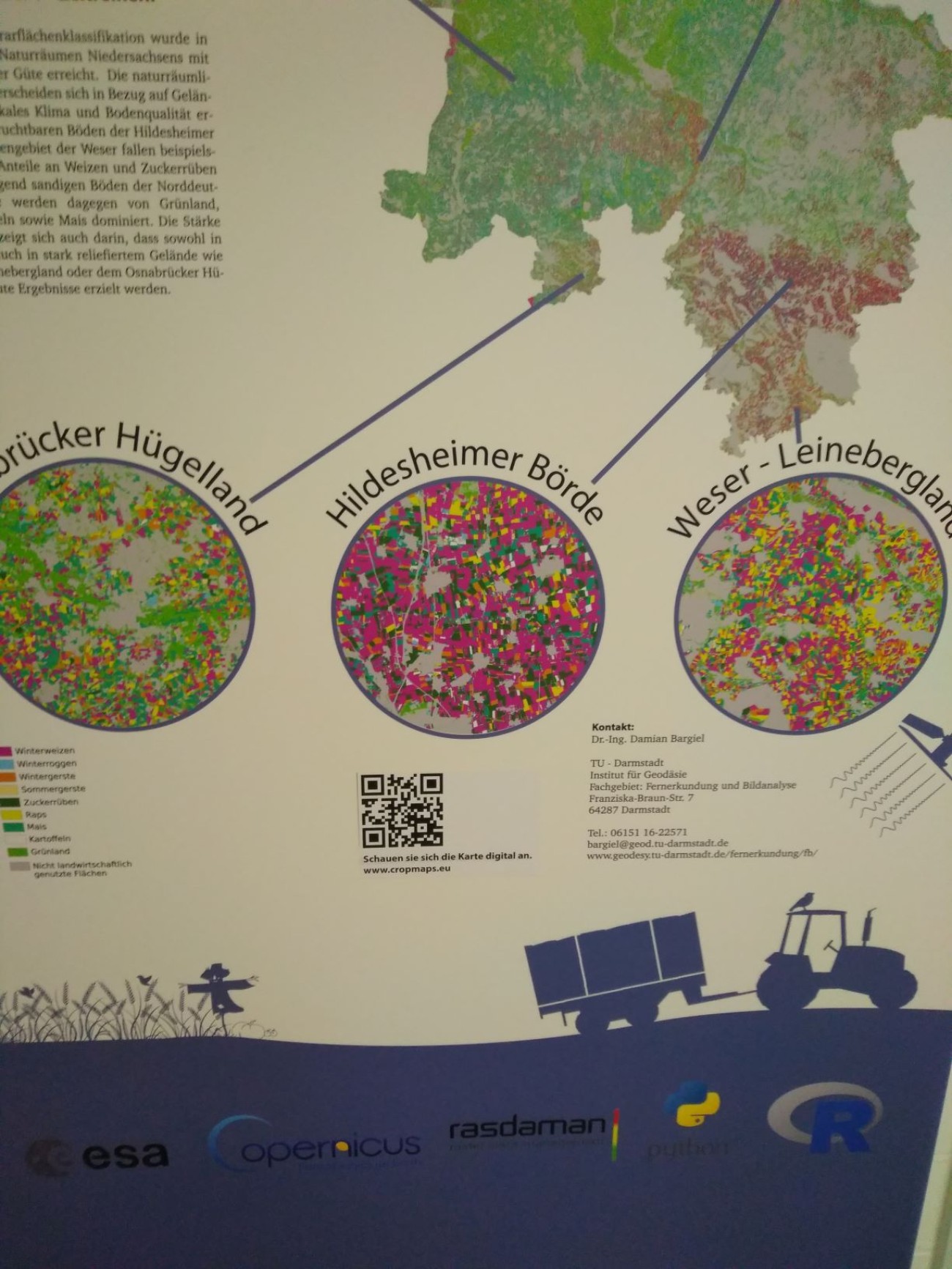
In the course of the investigation, different European areas will be considered. Due to the different cultivation times and phenology of agricultural crops, several images within one vegetation period are used for classification (multitemporal classification). The images are taken during the vegetation period of 2014.